Our History
Paul Fassam Land Engineering and Building Surveys was established in 1988 by Paul D Fassam a Chartered Land Surveyor, photogrammetrist and specialist aerodrome surveyor. This specialism was gained in work for the Royal Engineers and for the MOD over 16 years at more than 100 UK and overseas aerodromes.
Initially in 1988 the company provided precise engineering surveys, topographic surveys, building surveys and deformation monitoring. The company quickly established a large client base providing geodetic surveys worldwide using precise GPS and later GNSS technology. The company was incorporated in 2008 and continued trading as Paul Fassam Geomatics Ltd.
Our Equipment
Paul Fassam Geomatics Ltd provides concise accurate data by continually investing in and renewing its working practices and most importantly equipment.
Trimble GNSS receivers and radio base links are currently deployed worldwide. The geodetic GNSS control is also combined with the latest Trimble robotic total stations observations to provide a robust ADQ compliant survey methodology.
Laser scanners are deployed where high accuracy high precision point clouds are required. The latest additions include Small Unmanned Aircraft (SUA) and third party piloted airplanes where wide area mapping is required.
Ground penetrating radar (GPR) helps to locate buried services and objects. This can be supplemented with a traditional CAT Scan survey. In addition, we offer magnetic variation scans for complete subsurface mapping.
GNSS referenced hydrographic surveys are a unique service, especially for coastal erosion and development projects.
Data capture is our passion and this list should give an idea of some our capabilities. Please get in touch if you wish to explore further services.
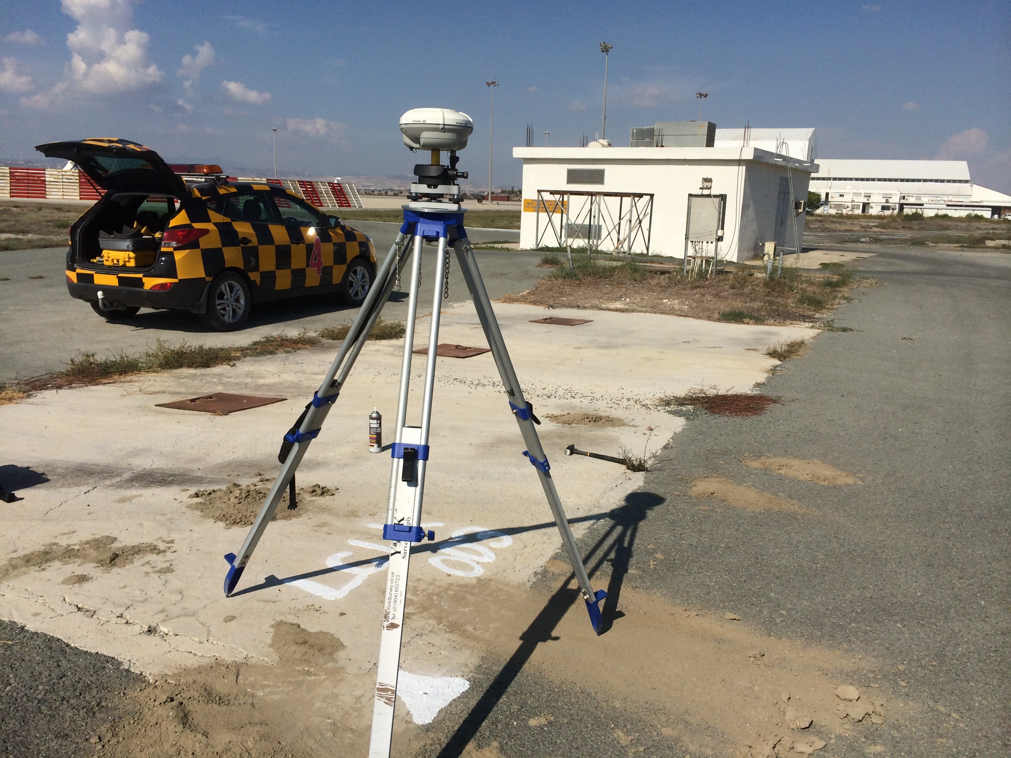
Trimble R8 Larnaca Cyprus WGS84 survey
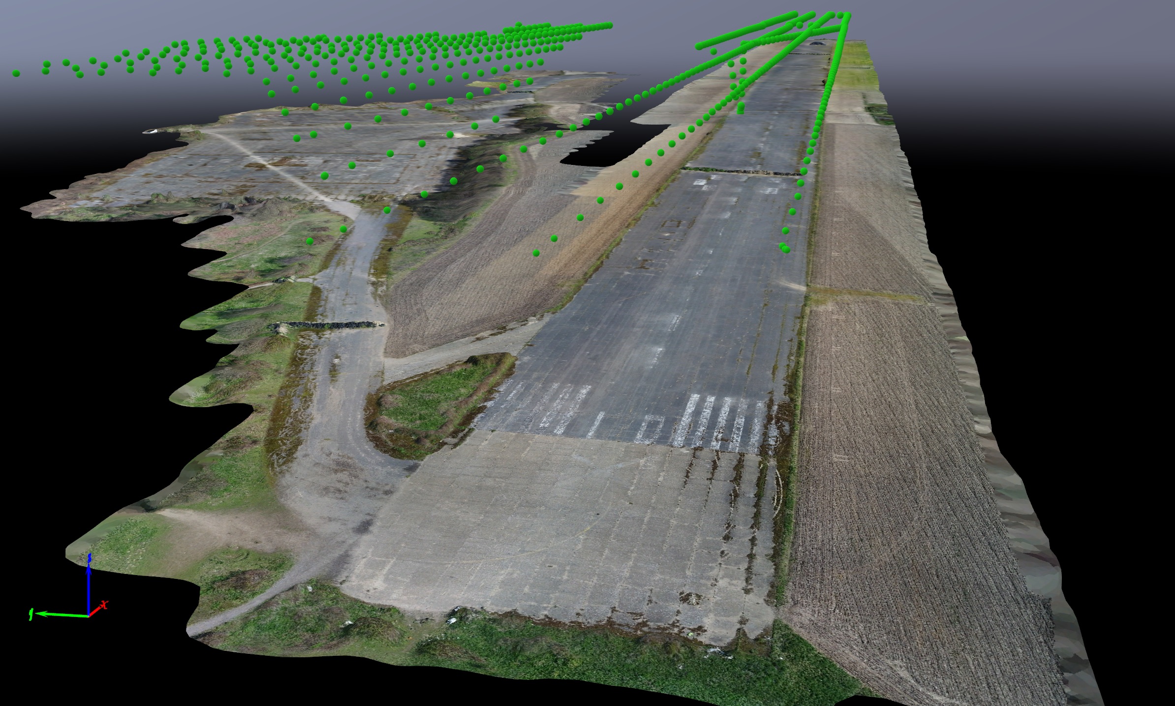
SUA 3D point cloud with camera positions